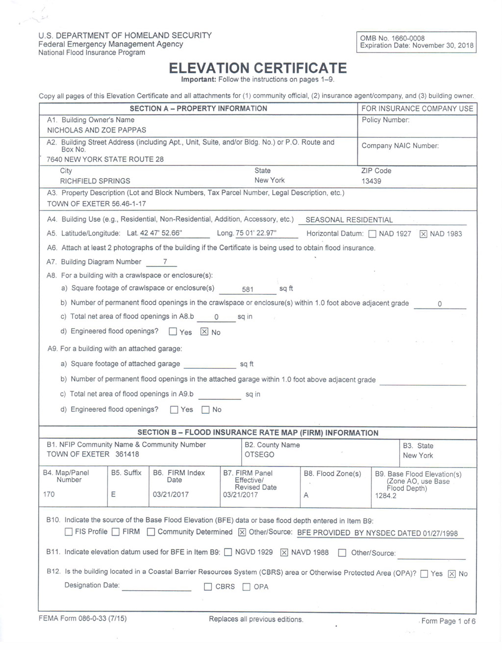
The elevation certificate is an important administrative tool of the federal National Flood Insurance Program and an important risk management tool for property owners. It provides the elevation, building type, flood map and additional information necessary to determine the proper flood insurance premium rates, to support a request to reclassify the flood zone designation, and to ensure compliance with community floodplain ordinances. The elevation certificate must be signed and sealed by a land surveyor, engineer or architect authorized by law. Surveyors licensed by the states in which the subject properties are located prepare most elevation certificates. Lawson Surveying & Mapping is experienced in preparing Letter of Map Amendments(LOMA ang eLOMA) and Letter of Map Revision(LOMR) filings as well.
Lawson Surveying & Mapping | 5546 State Highway 7, Suite1 | Oneonta NY 13820 | Phone 607-432-3300 | Fax 607-432-8313 | Toll Free 800-491-1868 | Email: info@lawsonsurvey.com Theme by Flythemes