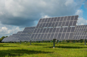
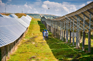
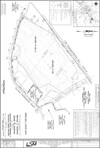
We understand the needs of solar developers. Lawson Surveying & Mapping has partnered with developers on many utility scale solar sites – large and small – over the past several years. Services provided include Boundary, Topographic, Utility Easements, Wetlands, Lease Exhibits, ALTAs(Pre and Post Construction), layout and As-built. We work in the NY/ NJ/New England markets and have six fully equipped field crews that travel throughout the region. They are equipped with the latest Leica dual frequency GPS GNSS(Leica 1200, GS18t and GS-16NR) equipment as well as Leica reflector-less TS-06 total stations and TS-16i imaging robotic total stations. We have built strong working relationships with photogrammetric, engineering and environmental consultants if needed.


